Geodetic Work
Geodetic Work
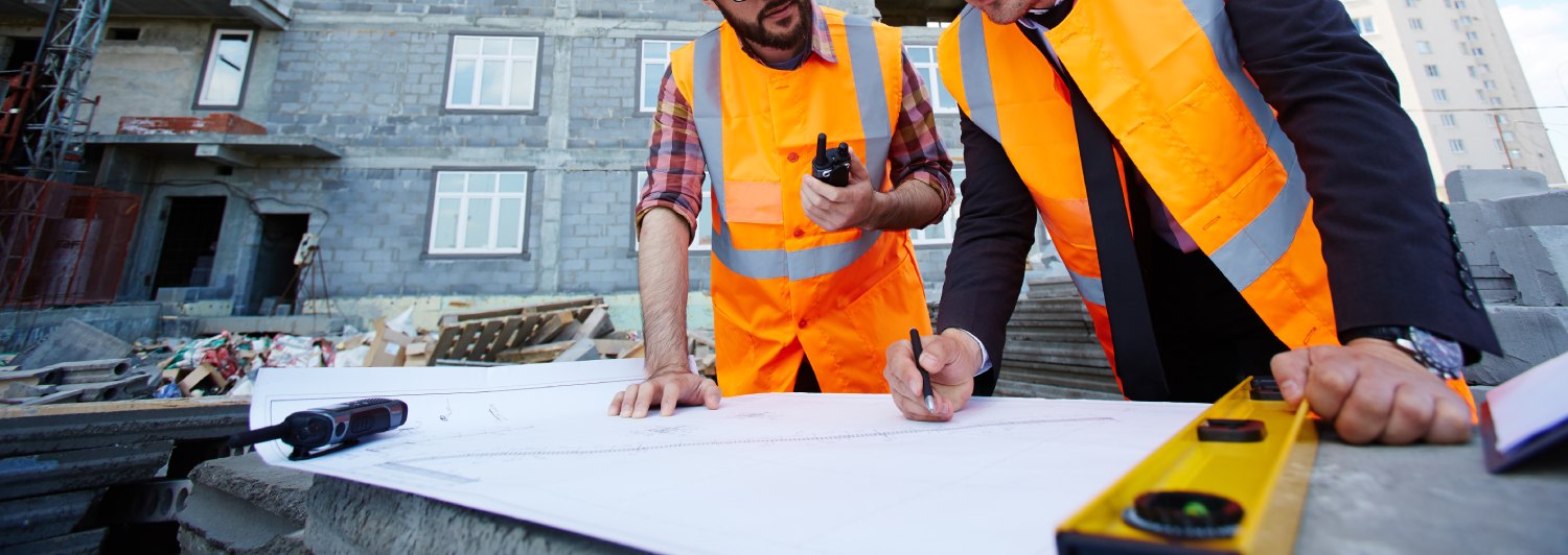
Since 1993, geodesy company ZEKAN, s.r.o. has been offering complex services in the field of geodetic work. We provide geodetic services all over Europe and measurements in both, S-JTSK and WGS-84. We cover the whole spectrum of geodetic work - individual builders, construction companies, developers, railways (we use automatic railway measurements G-02) energy, as well as cities and municipalities.
Geodetic Service Offer
Within geodetic services, we are able to cover a complex spectrum of these services and beyond that we can connect all together by using 3D project scanning, thereby minimising the investor’s expenses and time cost in all activities.
• Geometric plan production • Surveying work • Projects complex documentation • Layout of the buildings • Assessment and layout of the engineering structures • Basic plans of plants • Building of a field point • Assessment for project documentation • Layout of line construction • Layout of construction object • Engineering networks assessment and layout of all administrators • Creation of transverse and longitudinal profiles • Layout during ground works • Technical and precise levelling • Precise calculation of cubic volumes of ground works and materials • Assessment of the actual location of the structures and producing the necessary documentation • Passport of the local roads and pavements • Digital technical maps • Traffic sign passports • Public lighting passports • Furniture passport
Within the framework of railway management services, we provide
We are authorized to provide the G-02 measurements on the railway and we have been supplying geodetic services for the railway management for many years now. Beyond the conventional geodetic services, thanks to the 3D scanning options, we are able to ensure the accurate measurements of rocky or other non-cohesive surfaces and networks, preventing their loosening.
• Levelling of the railway point field • Railway superstructure measurements for design activities • Railway construction objects measurements for DSPS • Net surface measurements on rocks • Rock surfaces measurements
We have carried out geodetic works on many railways, for reference just to list a few: • Petrovice - Dětmarovice • Valašské Meziříčí - Hustopeče nad Bečvou • Vsetín - Lidečko • Soběslav - Doubí • Lovosice - Louny • Havlíčkův Brod - Okrouhle • Okřízky - Brno • Brno Maloměřice - Adamová